Radar
A radar (radio detection and ranging) is an installation designed to use radio waves to search the environment for objects (targets) in your immediate vicinity. It measures distances and is linked to GPS directions. The targets are made visible using a screen. A radar emits radio waves via a rotating antenna and receives the radio waves reflected by the objects (hereinafter referred to as: echo).
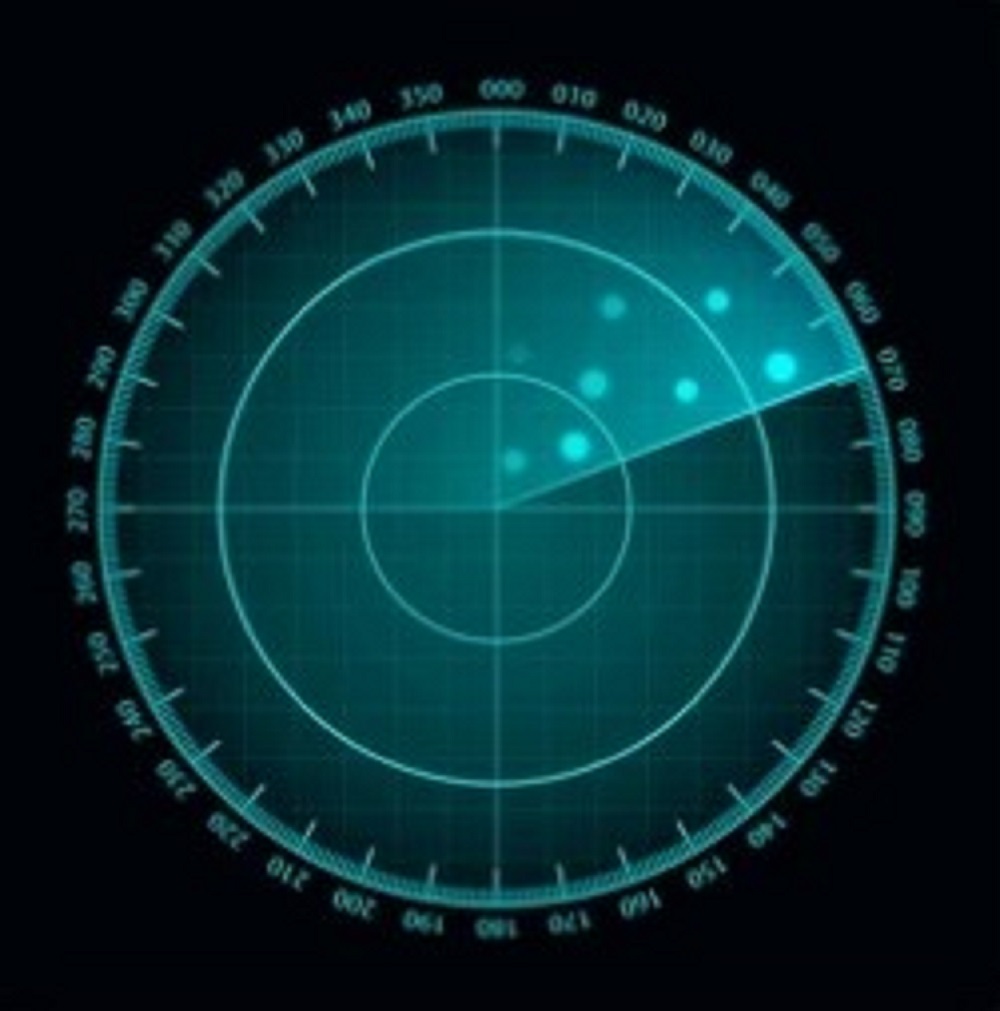
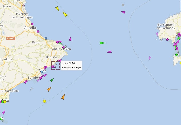
For shipping, the first use was for sailing in fog and poor visibility, which allowed scheduled services in particular to better maintain departure and arrival times. Connection with plotters makes it possible to display the sea chart on the radar screen and thereby exercise mutual control. With the AIS (automatic identification system), the echoes become ships with name, type, origin and destination. All in all, a progressive development in shipping with crews becoming smaller and smaller, ultimately resulting in unmanned vessels.
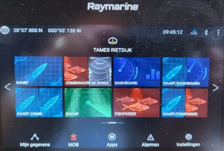
GPS – plotters – autopilot
GPS – Global Positioning System is a positioning system using satellites. These positions are displayed on a screen with a map of the immediate area and are converted into a moving movement by many measurements in a very short time. In addition to your own position, it is also possible to record other positions on the map, the so-called waypoints. Between your position and the waypoints, the GPS calculates directions - course - and distances - distance - and by pressing a button - go to - you can choose which route you want to take. If the arrival and departure point cannot be connected by a course, you can connect the waypoints and create a route. The speed is determined by placing a number of determinations in a period of time. A position can be determined at any time and recorded with the mob - man overboard - button. Depending on the model, there are several options for displaying the course and progress of the route. The evolution and accuracy of these instruments is happening very quickly with the arrival of more and more satellites, touch screens and connections with other instruments on board.
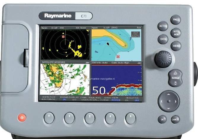
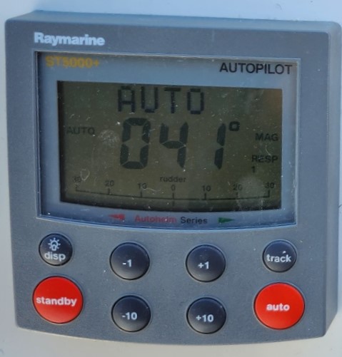
An automatic steering system – auto pilot – also works according to the GPS system and is often linked to the plotter. When switched on, the pilot goes into standby mode. When you press the auto button, the automatic transmission starts working and follows the course ahead when you press the auto button. With the plus and minus buttons you can change the course by 1 or 10 degrees. If we want to steer to a certain (way)point automatically, you must select that waypoint on the plotter and press the track button. The auto pilot will ask if you want to go to that waypoint and you confirm this by pressing the track button again. Your plotter will display whether you are actually going to the desired waypoint and the XTE button will indicate if you deviate from the trajectory. If you want to be able to steer normally again, first press the car button and then the standby button.
On most autopilot clocks, the rudder position is indicated at the bottom of the screen, which is important when maneuvering.